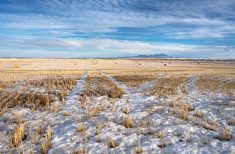
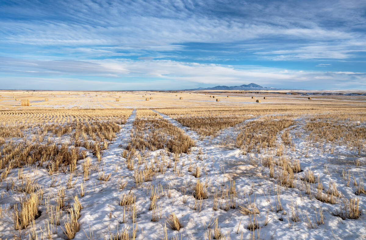
The big question for this forecast period is whether these mild temperatures will continue, or we see a return to more seasonable mid-winter temperatures? All I can say is that spring isn’t quite here yet.
The weather models were predicting that a very strong and large upper ridge of high pressure would develop and move over the prairies during this last forecast period and that is exactly what happened. What surprised even me, was just how warm some places ended up. The most extreme reading that I came across was at Maple Creek in Saskatchewan where the daytime high on January 30 top out at an incredible 20.9 C. Even if this reading is erroneous, there were several places across Alberta, Saskatchewan, and even Manitoba that saw daytime highs in the 14 to 16 C range on the 30th. That’s amazing for the end of January.
Read Also
Prairie forecast: Warm start then cooler air to move back in
While spring appears to be gaining a foothold across the western Prairies, it continues to struggle across the eastern regions. This forecast period looks milder than the last, but weather models are still not showing a clear or sustained shift toward a more spring-like pattern.
For this forecast period, the weather models are showing an area of low pressure cutting across the northern prairies on Wednesday. This will temporarily flatten the upper ridge which, while not really cooling things down much, should stop a repeat of Tuesday’s record-breaking temperatures. By Thursday, the upper ridge is forecasted to rebound northwards. This will once again bring the possibility of more record-breaking temperatures in Alberta on Thursday, then into Saskatchewan and Manitoba on Friday and Saturday as the ridge slides eastwards.
Over the weekend, the upper ridge will continue to move eastwards and slowly collapse. This will allow some cooler air to begin dropping southwards, first into Alberta early in the weekend and then into Saskatchewan and Manitoba sometime early next week. There is a chance for some precipitation over the weekend and into the first half of next week as an area of low pressure develops over the southwestern U.S.
Confidence is low, but current indications are that the main energy will stay well to our south while a piece of energy will break off and travel northwards into Saskatchewan on Sunday. It will then bump up against the colder arctic air to the north, and then move eastwards into central or northern Manitoba.
The weather models then show a large trough of low pressure developing over the western half of Canada and the U.S. which could result in a more unsettled weather pattern developing. That is a long way off but any moisture at this point would be welcomed.
Alberta
Most of agricultural Alberta will see a few more days of very mild temperatures. Expect daytime highs to range from 5 to 8 C across most regions with some of the favored warm spots pushing into the low teens. Over the weekend, the upper ridge will move to the east and allow cooler air to begin dropping southwards. As the cooler air moves in, a few weak areas of low pressure are forecast to move through and bring the chance of showers, then snow to mostly southern regions. Amounts at this point look light.
Temperatures by the weekend will drop down to around freezing for highs with overnight lows falling to around -8 C. Temperatures will cool off a little more as we work our way into the first full week of February with daytime highs forecasted to be in the -5 C range across southern regions and around -10 C over central regions.
Saskatchewan
This region will see several more days of well above average temperatures as the upper ridge continues to dominate the southern half of the province. Expect daytime temperatures to be in the 7 to 10 C range across southern regions with highs in the 3 to 6 C range over central regions. Daytime highs could be even warmer on Thursday or Friday all depending on cloud cover. Cloud cover is difficult to forecast under these conditions as low level moisture from melting can get trapped producing fog and low-level clouds.
Over the weekend, energy from the central U.S. is forecasted to move northwards bring clouds along with the chance of showers on Sunday before transitioning into the chance of snow by Monday. Currently it looks like there could be a swath of fairly significant amounts of precipitation. The weather models show between 10 to 15 mm of water equivalent precipitation falling over the center of the province from the boarder northwards. Daytime highs look to be above zero on Sunday before colder air works into the low and drops daytime highs below zero by Monday. Highs will continue to drop by a few degrees each day, but at this point it doesn’t look as if temperatures will drop to below average values.
Manitoba
This region, while still seeing warm-to-record-warm temperatures, has seen the coolest temperatures of all three prairies provinces. This is thanks to colder air situated to our east. As the western ridge pushes east over the weekend, this region can expect daytime highs in the 4 to 7 C range with overnight lows only falling to around zero – a little colder or warmer depending on cloud cover. Just how warm it will get will depend on cloud cover which can be notoriously difficult to forecast under these conditions. Areas that receive full sunshine and are at higher elevation could see daytime highs pushing 10 C on Friday or Saturday.
An area of low pressure is forecasted to move northwards out of the U.S. over the weekend. Currently it looks like most or all the precipitation from this low will stay in Saskatchewan with maybe far western Manitoba seeing a few showers. The low is forecasted to track to the northeast over the weekend, keeping southern and central regions dry. Temperatures early next week will cool down a little bit with daytime highs forecasted to be around zero to +2 C with overnight lows only falling to around -5 C. There is a chance of some snow or rain late next Wednesday and into Thursday, but that is a long way off and a lot can change between now and then.