In a previous article, we talked about when spring usually starts across southern and central Manitoba. Little did I know at the time there was a good chance that this year just might break the record for the latest spring ever! That is, at least if you use Winnipeg’s data. If you didn’t read that article, I proposed that spring doesn’t officially start until all the snow has melted and high temperatures consistently climb above +5 C. While some areas of extreme-southern and western Manitoba have seen all the snow gone — well, at least until the mid-April snowstorm — I don’t think any area has been consistently seeing daytime highs staying at or above +5 C. Using Winnipeg’s data, the date for the latest start to spring was April 28, 1996, with April 24, 1997, coming in a close second.
Depending on what happens with the Colorado low forecast to hit southern Manitoba and southeastern Saskatchewan over the weekend of April 22-24, there is a good chance we will beat those dates, making this year the latest start to spring on record. If we do end up seeing mostly rain and it does melt the existing snowpack, then there is a chance we could see spring start on April 26 or 27, with daytime highs on those days forecast to be in the +5 to +10 C range. Whether we break the record or not, I guess we could take comfort in the fact that we are not seeing two record-late starts to spring in a row as in 1996 and 1997.
Before we look back at the storm that hit us on April 13 and lasted until at least the 16th, I want to cover a couple of small topics that seem appropriate at this time. The first is the idea of averages. In the last article I talked about the average date for spring to arrive across southern Manitoba and it turns out to be around April 9. So, this year we are way later than average and last year we were way earlier than average; in fact, last year was the record-earliest arrival of spring. If we combine or average out last year’s record-earliest start to spring with this year’s near- or record-latest start to spring, you get an average date of about March 30. That means, strictly using averages, this year and last year average out to a spring start date that is earlier than average. This is why averages can sometimes skew the data. Last spring’s record start was two weeks earlier than the previous record and this year’s latest start to spring looks to be right around the previous record. Average them out and you get an earlier-than-average spring; that’s just math. If that is all you looked at, then you would miss out on this range of data. This is why in my forecast I give the range of expected temperatures for this time of the year. Remember, averages mean that usually half your data is either above average or below average, with very few values falling right on the average.
Read Also

Forecasting spring 2026 weather on the Prairies
What weather can farmers expect across Manitoba, Alberta and Saskatchewan as they head into seeding? Plus: a lesson on what makes the seasons turn
Selective memory
The second topic I’d like to cover has to do with weather forecasting accuracy. Don’t know if it was the Google search I did, or the fact that a lot of people were complaining about why the mid-April storm didn’t pan out exactly as forecasted, but it seemed that several articles about forecast accuracy kept popping up. The gist of those articles was that our current three- to five-day forecast is more accurate than the 24-hour or one-day forecast was 40 years ago. Some of you might be crying B.S. about now, but the articles brought up a point I have made over and over again over the last couple of decades: weather memory. We are very good at remembering when forecasts do not get things right, especially if it was supposed to be for really nice weather that didn’t turn out, or a forecast for really bad weather that ended up not being nearly so bad. These situations account for a very small percentage of forecasts. The majority of time, when the weather is right, we simply forget about it — it is taken for granted. The one caveat I will put on this is for those of you who look at and use hour-by-hour forecasts. Again, I have talked about these forecasts before. They are generated by computer models with no input from humans, and as good as computers are getting, they still need human interpretation and finessing. We do not yet have the ability to create accurate hour-by-hour forecasts, unless it is a sunny day, and the forecast keeps saying sunny. If conditions are changing, then the accuracy of the forecasts can be off.
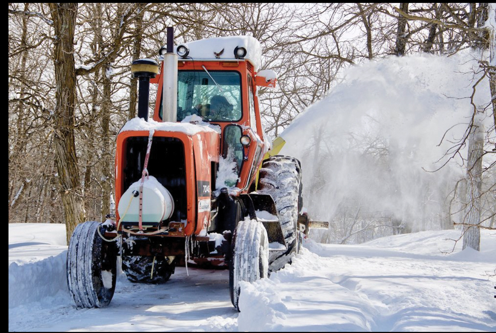
OK, now on to a quick review of the April 13-16 Colorado low. Despite what some people are saying, the forecasts did a pretty darned good job with this storm system. We were warned well ahead of time, and total amounts of precipitation were close to what was predicted — maybe a little off on the winds, but not by much. What they did miss was the slight shift westward with the low, which pushed the heaviest snow a little farther west than forecast. This also allowed for a dry slot to push into eastern Manitoba which was partly due to moisture being cut off by large thunderstorms to our south. This dropped snow amounts dramatically over a six- to 12-hour period in this region. This impacted Winnipeg, meaning that for this region the storm ended up not being as bad as forecast. Since most Manitobans think that Winnipeg is the centre of the world — OK, maybe just the centre of Manitoba — most people think the forecast was not very good.