Well, it’s now official. November 2016 has gone down in the record books as the warmest month on record across much of Manitoba and Saskatchewan. In the last issue I pointed out we should easily beat the record, and we did exactly that. In fact, we didn’t just break the record for the warmest November ever; we absolutely shattered it! Usually, when a record is broken, it is by a couple of 10ths of a degree. If you look at the table shown here, you can see all five of the major stations across Manitoba and Saskatchewan broke the previous records by at least 1.2 C.
Read Also

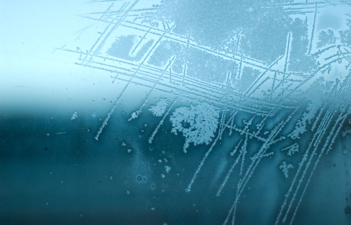
Why is the sky blue?
The colour of the skies, on the Prairies and elsewhere, tells the story of the paths sunlight takes as it enters Earth’s atmosphere, Daniel Bezte writes.
Winnipeg was the warmest station in November, with the greatest temperature anomaly, and it also broke the previous record by the greatest amount (1.8 C). Truly remarkable readings for all of these stations. A closer look at these records reveals a good portion of the heating during November was at night. Looking at Winnipeg’s data, which goes all the way back to 1872, we find the record average daytime high for November was 6.4 C in 1999. This year Winnipeg’s average daytime high for November was 7.2 C, beating the old record by 0.8 C. The record average overnight low, or daily minimum temperature, was -3.2 C, set in 1923. This year, that same reading was -1.1 C, which means this record was beaten by 2.1 C, or nearly three times the amount by which Winnipeg beat the daily recorded high.
Most of us didn’t need to look at a thermometer to know that it was a very warm month. Personally, I heat my house with a heat pump and a pellet stove. I think I turned on the pellet stove maybe three times during the month. Thanks to the late-month snow/rain event, for the first time in 15 years, my pond is overflowing and it looks like it will freeze up that way. That could make for an interesting spring.
Not surprisingly, the heat came with below-average amounts of precipitation across nearly every region. Both Regina and Saskatoon reported less than 10 mm during the month. Here in Manitoba, Brandon reported 10 mm while Dauphin had only eight mm, both of which are about half of their long-term averages. These drier conditions didn’t really help out after these regions saw well-above-average rainfall in October. The Winnipeg region, along with eastern areas of Manitoba, saw near-average amounts of precipitation thanks to a late-month storm system that brought a mixture of rain and wet snow.
Who called it?
Overall, it was a warm month, with near- to below-average amounts of precipitation. Looking back at the different predictions, I’ll have to give the weather nod to… the Old Farmer’s Almanac. It was the only one to correctly predict above-average temperatures and below-average amounts of precipitation.
Now, on to December’s forecast. I know it is a little late, which does give me the advantage, but over the last couple of months my weather forecast record has taken a bit of a beating, so I don’t know how much of an advantage I will have.
Starting with last month’s winner, the Old Farmer’s Almanac calls for colder-than-average temperatures, with the warmest temperatures in eastern regions and the coldest temperatures to our west. Precipitation will be a little below average in the east and a little above average over western regions. The Canadian Farmers’ Almanac appears to call for colder-than-average temperatures as it mentions fair weather and cold weather a couple of times. It also looks like precipitation will be above average, as it mentions the possibility of heavy snow a few times.
Next, we have Environment Canada, calling for near- to slightly-above-average temperatures across Manitoba, with the best chance of above-average temperatures over east-central regions. As for precipitation, it calls for near-average amounts, with northern regions seeing above-average amounts.
Finally, my forecast. Looking at the latest medium-range models, it does appear we are going to cool down to around average or even a little below average by the middle to latter part of this week. After that, the weather models are jumping all over the place, bringing in bitterly colder air later in the month, then switching that forecast back to a milder pattern. I think there are indications that we’ll see our temperatures cool back down to the average range for December, with a slight chance of very cold air moving in during the second half of the month. Precipitation is also all over the place with the weather models, but I am going to go with above-average amounts as we’ll see several chances for winter storms as the cold air keeps trying to work its way south.