

I know the year isn’t quite done yet, but I really want to take a look back and see just how the numbers turned out for our weather across the Prairies this year. I figure the best way to do this is to look back month by month, then do an overall summary of the year.
January
The year started off mild and dry across the Prairies, with all of the major centres in Alberta, Saskatchewan and Manitoba reporting above-average temperatures and either average or below-average amounts of snow. The warmest region, compared to average, was Saskatchewan, with Regina reporting a mean monthly temperature that was 3.5 C above average. Saskatoon was the wettest or snowiest area, compared to average, with 2.5 mm more precipitation than average.
Read Also

Forecasting spring 2026 weather on the Prairies
What weather can farmers expect across Manitoba, Alberta and Saskatchewan as they head into seeding? Plus: a lesson on what makes the seasons turn
February
The warm temperatures were turned up a notch in February, especially over the western three-quarters of the Prairies. Mean monthly temperatures in Alberta and Saskatchewan were 6 C above average, with Manitoba a little cooler and mean temperatures ranging between 2 and 5 C above average. Precipitation continued on the light side with only Dauphin reporting slightly above- average amounts.
March
The warm winter continued into March, with all locations seeing an early start to spring, thanks to temperatures that were between 2.3 and 5.2 C above average. Combine the warm temperatures and light snow cover and most regions were snow-free by the end of the first or second week of the month. Winnipeg was the wettest spot during March, with most of the precipitation coming in the form of rain when nearly 20 mm fell on the 15th and 16th.
April
Alberta continued with above-average temperatures in April, but things cooled down to near average in Saskatchewan and to slightly below average in Manitoba. Alberta continued on the dry side, while Manitoba saw wet conditions, with Winnipeg reporting 55 mm — a good 23 mm above average. Just like March, most of the precipitation came in the form of rain, with about 36 mm falling on April 15 and 16.
May
Warmer-than-average temperatures continued, but this time it was eastern regions that were the warmest, compared to average. This was also a wetter month across the Prairies, with only Saskatoon, Brandon and Dauphin reporting near- to below-average amounts.
June
Once again we saw warmer-than-average temperatures, but not to the same degree as previous months. Mean monthly temperatures across all the stations averaged between 0.5 and 1.5 C above average. Precipitation varied during June, with Dauphin, Saskatoon, Regina and Calgary reporting below average, while the other sites received above average.
July
Temperatures during July were near average across the Prairies, with precipitation running near- to above-average during the month. The big weather story of the month was the heavy rainfall that hit Calgary from July 11 to 17. During this period, parts of the city saw nearly 100 mm of rain. Combine this with several other rainfall events over the rest of the month and totals ended up in the 200-mm range.
August
Near-average temperatures and above-average amounts of rainfall continued for most locations in August. The wettest region was the Peace River region of Alberta, which saw over 100 mm in the month. The driest region was around Winnipeg, where less than 50 mm fell.
September
Near-average temperatures continued into September across Alberta and Saskatchewan, while slightly above-average temperatures moved into Manitoba. Precipitation was variable across the Prairies during this month, with Peace River, Regina and Brandon reporting above-average amounts, while the other stations had below-average amounts.
October
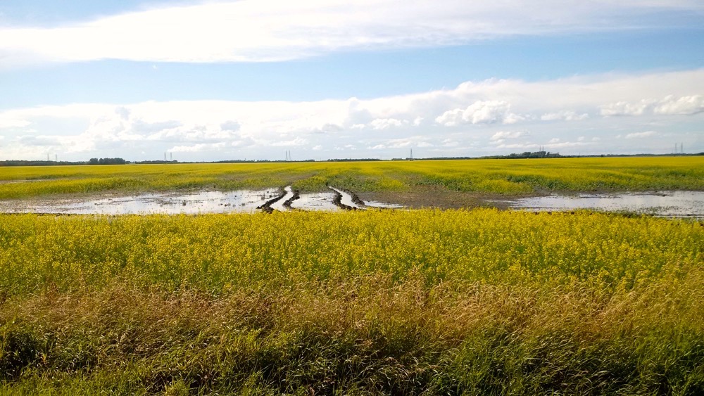
Mild weather continued in Manitoba, with temperatures averaging between 1 and 2 C above average. Temperatures were much cooler over Saskatchewan and especially Alberta, with mean monthly readings as much as 3.6 C below average. With the colder temperatures came plenty of precipitation. October was the only month of the year that saw all major stations report above-average amounts. The hardest hit area was western Manitoba and eastern Saskatchewan. Dauphin saw 137 mm during the month. Combine this with heavy September rains and the cool temperatures providing very little evaporation, and conditions were very wet going into the winter.
November
This was the hottest month of the year compared to average, with many monthly records broken in Saskatchewan and Manitoba. Precipitation was below average in Saskatchewan and Manitoba, but above average across much of Alberta. Edmonton was the wettest location, with 166 mm falling, nearly 10 times the average.
December
After a few warm days to start the month, the cold weather moved in to make us pay back all the warm we saw in November. Even after the warm start, and with near-average temperatures that look to end the month, overall, December looks like it will come in well below average, with the coldest readings across Alberta.
Overall, the year was warmer than average, with some regions coming within a degree of their all-time warmest year on record. Precipitation (when compared to average amounts) was near- to above-average across all regions, with the wettest region being Alberta.


