New York | Reuters — Hurricane Matthew, the fiercest Caribbean storm in nearly a decade, roiled commodities markets and forced companies from cane refiners to orange juice makers to shutter as it whipped its way toward the southeastern U.S. on Thursday.
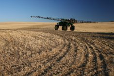
Southeastern companies were closing down operations ahead of a storm that could threaten some two million tonnes of sugar and trees representing over 90 million boxes of citrus fruits in Florida. About half a million acres of cotton were at risk from torrential rain in North and South Carolina, where farmers have already been struggling during a rainy harvest.
Read Also
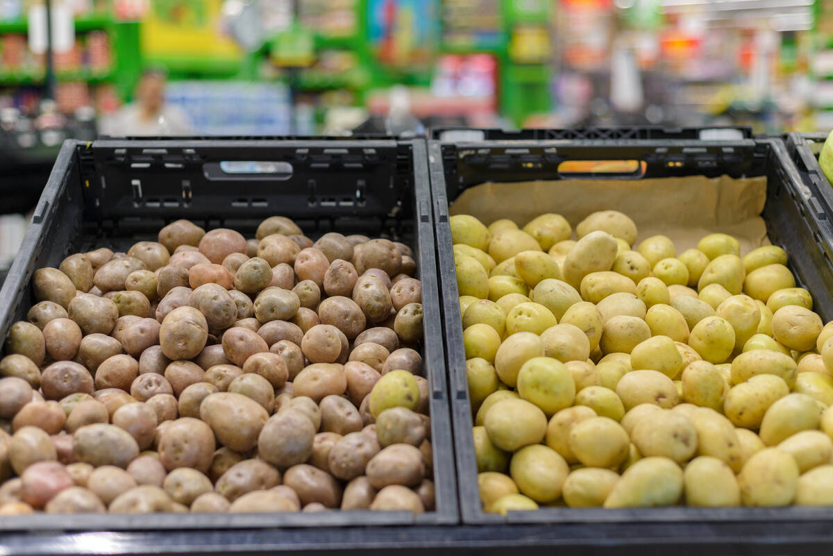
Path cleared to Mexico for fresh Canadian potatoes, supplanting U.S. spuds
A new agreement between national food safety agencies would allow Canada to export fresh potatoes to Mexico, whose imports of fresh potatoes for years have been solely from the U.S.
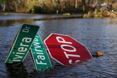
Officials issued a state of emergency for parts of Florida, Georgia and the Carolinas for the Category 4 hurricane that by Thursday afternoon had already taken the lives of 140 people, mostly in Haiti. Port operations along the coast were slowing or shut.
For commodities markets including U.S. sugar, orange juice and cotton, the storm prompted a volatile week of trade. Though forecasters like senior meteorologist Drew Lerner of World Weather Inc. said damage to Florida’s sugar and citrus crops would likely be limited, producers were readying for the worst.
The storm has forced a shutdown of sugar operations just days into the harvest, said Ryan Weston, executive vice-president of the Sugar Cane League, which represents growers in Florida, Texas and Hawaii.
“Depending on the intensity and path of the winds, hurricanes will knock the cane down to the ground, slowing harvest way down. It hurts this harvest and the next,” Weston said.
The storm was expected to hit Florida or brush along the state’s east coast through Friday night, then work its way up the Atlantic coast.
As of 5 p.m. Thursday, Matthew contained sustained winds of 225 km/h and gusts up to 265 km/h, according to the U.S. National Hurricane Center. It was about 60 km east-southeast of West Palm Beach, Florida, and was moving to the north-northwest at 22 km/h.
Florida’s east coast, predominantly grapefruit country, was expected to bear the brunt of the storm. There, trees have already been weakened from disease, said Lerner.
“Our growers are already facing challenges,” said Nikki Hayde, senior marketing manager for Florida’s Natural Growers, a co-operative of about 1,000 citrus farmers throughout the state.
“We are trying to get out orders that were scheduled for Thursday and Friday on the road as quickly as possible,” she said.
‘Harvesting as fast as we can’
The U.S. livestock industry was also closely tracking the storm’s path, likely to brush the hog-rich Carolinas.
Smithfield Foods, a subsidiary of WH Group and the world’s largest hog producer and pork processor, moved to protect people, animals and buildings from the impending storm, said company spokeswoman Keira Lombardo in an e-mail.
Crews at the port of Wilmington, N.C. prepared for Matthew’s winds by lowering container stacks and tying down equipment.
In North and South Carolina’s cotton-growing regions, farmers raced to bring in fibre from fields where rains have delayed harvesting and the plants were at one of their most vulnerable stages, most susceptible to the two to 15 inches of rain expected.
“It’s tricky,” said Michael Quinn, president and chief executive of Carolinas Cotton Growers Cooperative. “The growers are harvesting as fast as they can.”
“We are closely monitoring conditions ahead of the storm and working proactively with farmers to help them prepare for a significant rainfall event. Governor McCrory has declared a state of emergency for all 100 counties in central and eastern North Carolina as we brace for as much as 10 to 12 inches of rain in our coastal areas,” said North Carolina Department of Environmental Quality spokeswoman Stephanie Hawco.
— Reporting for Reuters by Chris Prentice in New York and Theopolis Waters and Karl Plume in Chicago.