Well, the biggest miss of last issue’s forecast was the winds associated with last weekend’s Alberta Clipper. The low really deepened as it moved into Saskatchewan and Manitoba. This created the strong winds ahead of and on the back side of the system.
As this forecast period starts, the Prairies are feeling the effects of an upper ridge as it slowly slides eastwards and breaks down thanks due to low-pressure tracking over the ridge. Here is where things get interesting. Overall, the models have consistently shown an area of low-pressure tracking over the ridge late this week and over the weekend. This low is forecasted to drop southeastwards and deepen dramatically.
Read Also
Prairie forecast: Warm start then cooler air to move back in
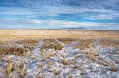
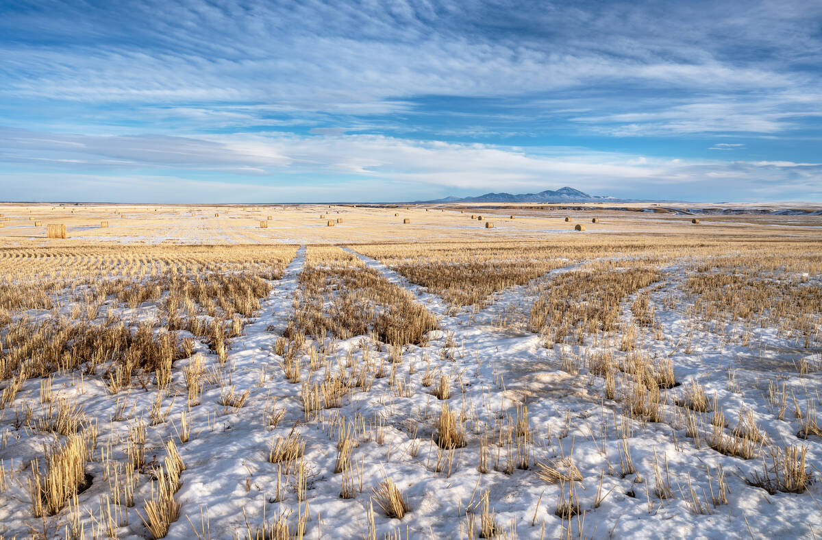
While spring appears to be gaining a foothold across the western Prairies, it continues to struggle across the eastern regions. This forecast period looks milder than the last, but weather models are still not showing a clear or sustained shift toward a more spring-like pattern.
On the back side of this low, Arctic high pressure will drop southwards, while to the west, another strong ridge of high pressure is forecasted to develop. What’s interesting is that the weather models have been inconsistent in the strength of these systems. This will have an impact on where they track. Confidence in the overall pattern is good, but confidence is low in the placement of systems, especially over Saskatchewan and Manitoba.
Should things play out as the weather models show, the eastern low will quickly slide away and allow another strong ridge of high pressure to build eastwards across the Prairies during the second half of this forecast period. This would mean a return to unseasonably warm temperatures with little significant rainfall in slight.
Alberta
Alberta with start this forecast period with the ridge of high pressure retreating to the east. This will allow for slightly cooler air to work in behind the ridge. Expect daytime highs to be in the low to mid-teens by Thursday with overnight lows falling into the 1 to 3 C range. Central and northern regions may see the odd shower on Wednesday or Thursday as a weak system tracks through northern regions.
Over the weekend, the weather models show a strong area of low pressure moving into the Gulf of Alaska. The counterclockwise rotation around this low will help build a ridge of high pressure over B.C. that will slowly transition eastwards as the gulf low moves on shore.
Expect plenty of sunshine and warming temperatures with daytime highs into the upper teens or low twenties by the end of the weekend and overnight lows warming into the mid to upper single digits. These mild fall temperatures are expected to continue until at least Wednesday before anther Pacific low pushes the ridge eastwards.
Saskatchewan and Manitoba
These regions are going to feel the full effects of the upper ridge on both Wednesday and Thursday with plenty of sunshine and daytime highs in in the 20 to 25 C range. Overnight lows with likely be in the 3 to 6 C range, but with light winds, clear skies, and long nights, a few areas may approach the zero-degree mark.
The ridge is forecasted to collapse on Thursday or Friday as a weak low slide over top. This may bring a mix of sun and clouds over eastern Saskatchewan and most of southern and central Manitoba on Thursday, but little in the way of showers.
It will cool down a bit over the weekend as an area of low pressure deepens over eastern Canada. This low will create a northerly flow across much of Saskatchewan and Manitoba over the Thanksgiving long weekend, which will keep daytime highs in the low teens and overnight lows around or just above the freezing mark. There are indications of a weak system rotating southwards in the northerly flow sometime on Saturday. This may bring some clouds with the slight chance of showers to southern Manitoba.
Weather models then show the eastern Canada low sliding further east. This should allow for a building ridge of high pressure over the western Prairies to push eastwards. This will once again boost temperatures back above average with daytime highs forecasted to be in the mid to upper teens. Overnight lows will hover near or slightly above zero.
— Daniel Bezte is a teacher by profession with a B.A. (Hon.) in geography, specializing in climatology from the University of Winnipeg. He operates a computerized weather station near Birds Hill Park, Man. Contact him via email with your questions and comments.