Surprisingly, the weather models did an ok job with last week’s forecast. The timing was slightly off, but it picked up on the warm late week and weekend weather followed by the shot of colder air to start the week. Where the models had trouble was the week to two-week time frame.
When I was writing last week’s forecast, the weather models were pretty determined that the weather pattern was going to undergo a big switch towards much colder and stormy conditions. By last weekend they began to swing around, back towards what we have been seeing: above-average temperatures and relatively dry conditions. The transition to winter weather is such a fun time!
Read Also
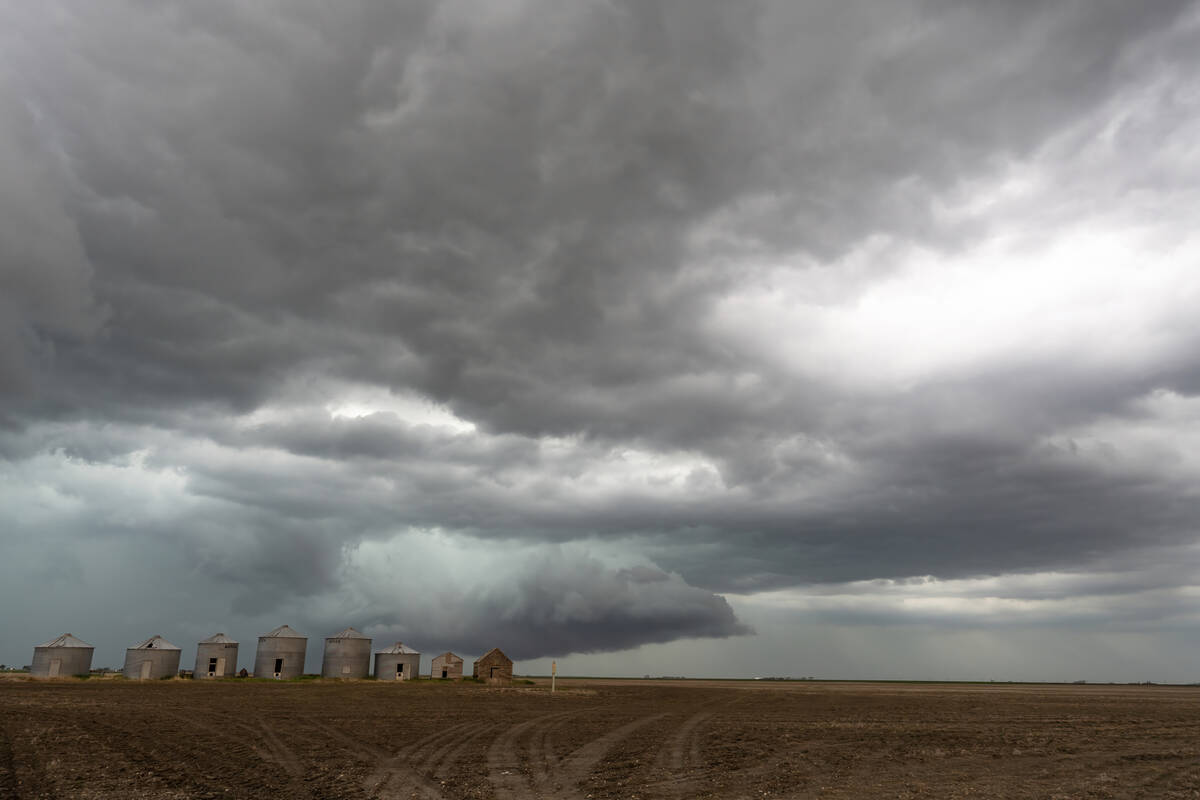
Prairie forecast: Storm systems bring wintery mix
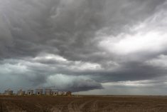
Several storm systems are setting up across the Prairies with potential for rain, freezing rain and snow. Forecast issued April 15, 2026, covering April 15 to 22, 2026
This forecast starts with an area of low pressure over northern Ontario and a resulting push of cool air over the eastern half of the Prairies. Over the western half of the Prairies, a weak ridge of high pressure is moving in. This will bring sunny skies and average or above average temperatures. This weak ridge is forecasted to slide southeastwards and bring a quick warm-up to southern Saskatchewan and extreme southern Manitoba before a cool zonal flow sets up. While the flow looks cool, temperatures for the most part look to be around average.
For the weekend, the models show another ridge of high pressure building over the western Prairies and bringing warmer temperatures. Like the first ridge, this one is expected to track quickly to the east and to bring one or two days of warm weather to Saskatchewan and Manitoba before collapsing to the southeast.
There’s potential for low pressure to develop behind the ridge, but confidence is low at the moment. Should it develop, there’d be potential to bring snow to eastern Alberta, south-central Saskatchewan, and central Manitoba early next week. As usual, that’s a long way off, and as I pointed out, the transition to winter can be one of the toughest times for medium-range forecasts.
Alberta
Wednesday will see a weak ridge of high pressure slide through the province and bring sunny skies and mild temperatures. Expect daytime highs in the 8 to 7 C range over northern regions with southern areas seeing highs in the 10 to 12 C range.
As the ridge slides to the east late Wednesday, a predominately westerly to northwesterly flow will develop across the Prairies thanks to a broad area of low pressure over the central Arctic. Under this flow skies will be sunny to partly cloudy with daytime highs ranging from 6 C over northern regions to around 10 C over southern sections. Overnight lows will be in the -2 to -5 C on most nights with coldest reads occurring where winds become light.
Over the weekend, there will be a push of warm air as a ridge builds ahead of an area of low pressure off the B.C. coast. Temperatures by Sunday should warm into the mid-teens over southern regions. Highs over northern sections will be around the 10 C mark. Unfortunately, this warm-up looks like it will only last a day or two as the B.C. low comes ashore over Washington state and redevelops over Montana. Cold air will get pulled in behind the low early next week and there is the potential for some snow over southern and eastern areas. Keep an eye on the possibility of this system.
Saskatchewan and Manitoba
Saskatchewan and Manitoba will see warmer temperatures on Wednesday and Thursday as a weak ridge moves through. Expect daytime highs to be in the 8 to 11 C range with overnight lows falling to around -2 C. The ridge is forecasted to collapse on Thursday. Thism combined with a large broad area of low pressure over the central Arctic, will help to create a westerly to northwesterly flow across the Prairies. Under this flow expect to see sunny to partly cloudy skies along with temperature near the average for this time of year. Expect daytime highs in the 6 to 8 C range with overnight lows in the -2 to -4 C range.
Over the weekend, an area of low pressure is forecasted to move in from the Pacific over southern B.C. or Washington state. The counterclockwise rotation ahead of this low will pull mild air northwards on Sunday and Monday. Daytime highs are forecasted to be in the low teens and overnight lows to be in the 2 to 5 C range.
By Monday, the weather models show the low strengthening over Montana and lifting northeastward through southern Manitoba. Currently, they show precipitation with the low occurring on the northern and western sides of the low. This would place the precipitation over western and central Saskatchewan and central Manitoba. It could fall as either rain or snow depending on the timing. The best chance of snow is over more northern sections. Confidence in this system is low, but at this time of the year it bears watching.
— Daniel Bezte is a teacher by profession with a B.A. (Hon.) in geography, specializing in climatology from the University of Winnipeg. He operates a computerized weather station near Birds Hill Park, Man. Contact him via email with your questions and comments.