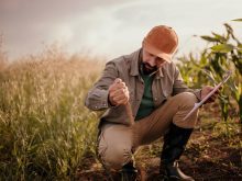
Adam DeVisser is a recent convert to using precision agriculture, but he’s practical about its application.
“The value is not in computers making decisions for us, but in us making more informed decisions,” he said at a recent crops conference in Ontario.
DeVisser and his fellow panellists — farmer Mark Brock and Brandon Dietrich of Sprucedale Agromart — all said they have found significant advantages from using precision equipment and techniques.
“With a relatively small land base, we have to be careful about costs,” said DeVisser, who crops about 800 to 900 acres on the family farm.
Read Also
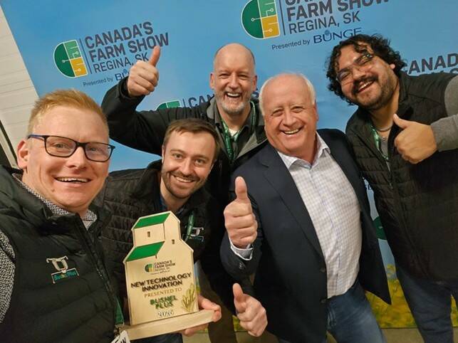
Bushel Plus wins big at Canada’s Farm Show
Bushel Plus took the Innovation award at Canada’s Farm Show in Regina for concave technology that cuts combine changeover time from hours to minutes.
A 2014 upgrade to a higher-accuracy GPS signal for the planter tractor meant they saved two tillage passes by no-till planting soybeans between standing cornstalks.
“You can maintain yield, and at $15 an acre over 200 acres, that’s a savings of $6,000 — pretty good payback,” he said.
An upgraded planter with hydraulic drive and a rate controller along with the GPS in 2015 meant they could embark on variable-rate seeding. While things didn’t work out as planned for the corn because of a technical glitch, variable-rate seeding for the soybean crop was a success.
“We proved the concept using yield maps and our knowledge of soil characteristics to save expenses,” he said. The next steps will be to get more data about the soil using electromagnetic or gamma ray sensors to refine his seeding.
For DeVisser, there are three main takeaways: First, deciding what data to use, given the many sources available, including yield maps, satellite imagery, soil samples and so on. He also pointed out that the “one between your ears” is the most important to make it all work.
Second, the quality of the data is key, which is why it’s important to make sure that what the machines are saying is accurate.
Finally, keeping a close eye on equipment costs is essential.
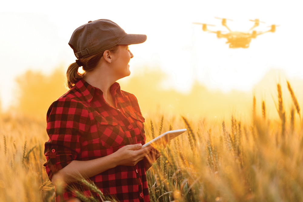
He’s also a big fan of drone imagery, which can pinpoint weed issues, insect problems, winterkill, nutrient deficiencies and wildlife damage.
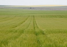
Mark Brock, who farms 1,700 acres, uses yield and soil data maps, to create his own prescription and as-applied maps (every time a field is planted, sprayed, fertilized or strip tilled, data is recorded). He also has a tile plow and has software that shows him the topography of his land for better water management.
He, too, has spent some time over the last few years ground truthing satellite images against yield maps.
“I found that they are really accurate,” he said, adding he likes using the images because they record in real time.
While yield maps are useful, translating them to three-dimensional topography maps really tells the story about what’s going on with the land. It also helps with developing management zones, soil sampling and tile layouts.
With Fieldview software, he can do side-by-side comparisons of how different varieties perform in different areas of the field.
“It’s as simple as sitting on the couch with an iPad, doing some squiggly lines with your finger and you can really get some cool information,” he said.
He is also a big fan of drones.
“I used some of the imagery to get the drainage contractor to come back and fix a few places where we had blowouts,” he said. They also provide data in real time, allowing him to make adjustments in production practices through the year.
His advice to other producers is to know your cost of production, risk only what you can afford to lose (he takes about four per cent of his acres to experiment with different techniques and products), work with people you trust (especially with hardware and agronomics) and other farmers to achieve better results.
“You have to create a team that’s on the same page so the hardware and agronomy sides are matched up to achieve your goal on your farm,” Brock said.
Precision agriculture without good agronomy is poor agronomy applied precisely, Dietrich said.
“It’s great to have all these tools and technologies, but you need to have sound agronomics to back them up,” he said.
As an agronomy adviser, Dietrich mostly uses soil testing, yield maps and aerial imagery, including drones and satellite, with his farm clients.
“Having soil data from the last three to five years is very important to fertility decisions, otherwise we have no idea whether we’re underapplying or overapplying,” he said.
Yield maps are invaluable, especially for pinpointing areas of the field that are underperforming, and he said he finds getting a high-quality aerial shot of the crop at its peak vegetative growth correlates quite closely to the final yield data.
In making prescriptions for potassium and phosphorus, he uses soil test data to determine whether the field is in a build or maintain situation.
If levels are low, he recommends a solid rate for a few years and once it’s at optimal fertility, he’ll develop a variable-rate script from the yield maps.
Dietrich has also had good success with variable-rate soybean seeding by increasing seeding in lower-production zones getting more plants per acre and decreasing seeding in higher-production zones which means good yields with lower seed costs and less likelihood of white mould.
“Overall, the amount of seed planted through the whole field may be about the same, but distributing them differently gets you a better return,” he said.
Applying nitrogen at a variable rate is trickier because of the weather. While some producers prefer using Greenseeker, a sensor that assesses the variability of the crop and provides fertility recommendations, Dietrich has found that using management zones to determine where the nitrogen can be put to best use works well, too.
While all the technology is very useful, the producer is sometimes the best management resource.
“The farmer’s knowledge of the field can be the most valuable,” he said.