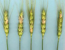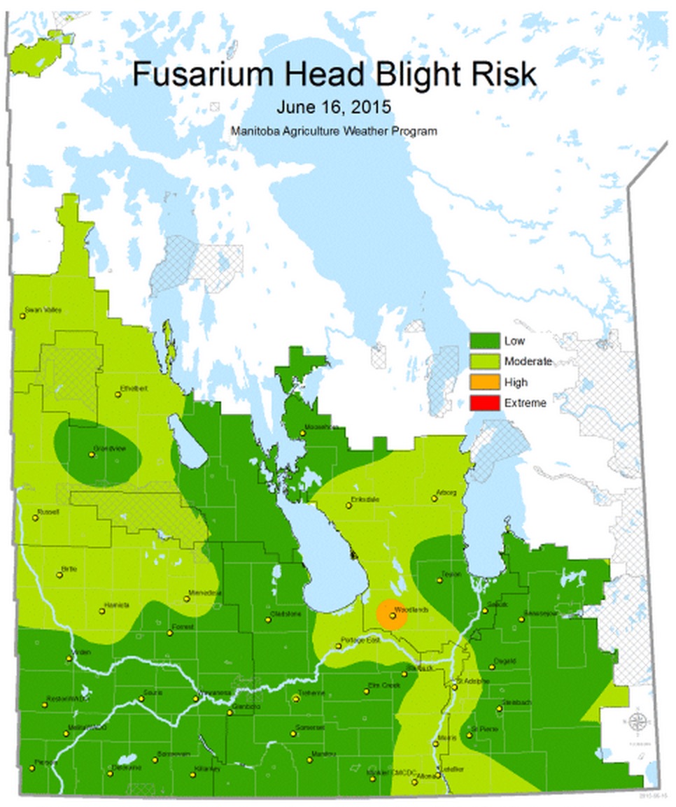
Manitoba Agriculture, Food and Rural Development (MAFRD) has released its latest FHB Risk Map of the season, now posted on the MAFRD website.
The map shows the fusarium head blight risk for June 16th based on precipitation and temperature data from the last seven days. A second map displays an animation of the last 7 days to show how the FHB risk may have changed.
To see the FHB Risk Maps, visit the MAFRD website.