
A new, made-in-Manitoba tool to assess the risk of fusarium head blight will be available to farmers across the Prairies this spring.
After five years in development, the University of Manitoba agriculture department will make the tool available for use after an April 12 launch.
“We wanted to embark on a project with a specific objective: to create a system that could use real-time weather data to delineate risk for FHB across the Prairies,” says Paul Bullock, a senior scholar in the U of M’s soil science department.
Read Also
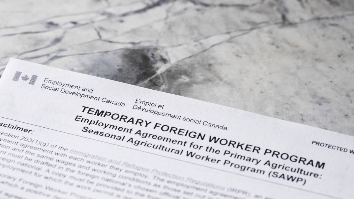
Meat sector shrugs at raised cap for rural temporary foreign workers
Federal moves to relax restrictions is unlikely to change much for agriculture or meat processing, where the real ask is permanent residency pathways.
FHB is a fungal disease that affects cereal crops including wheat, barley and rye. It is caused by several species of the fusarium fungus and can result in significant yield losses and reduced grain quality.
Weather conditions play a significant role in the risk of infection. Warm, humid weather during flowering and early grain development creates ideal conditions for the fungus to grow and infect plants. Weather pattern and forecasting models can help predict the risk of fusarium head blight infection and allow farmers to take preventive measures.
The agriculture departments of all three Prairie provinces provide farmers with weekly FHB risk maps, but they are of fairly low resolution, and there are inconsistencies between provinces.
“We’d have farmers tell us they were right on the border, and if they clicked on the map in Manitoba, it showed high risk, but in Saskatchewan, it showed low risk,” says Bullock. “That’s because there were different models using different timeframes.”
A system that was consistent across the Prairie region was needed.
A similar system operates in the U.S. so there was no need to reinvent the wheel. Nevertheless, the task of turning that technology into a useful model for the Canadian Prairies was considerable.
“There was a desire and strong support for us to create a pan-provincial FHB risk mapping tool that was developed using our own cereal crop varieties and was representative of the fusarium species and chemotypes that we have on the Prairies,” said Bullock.
The tool developed by the U of M team surpassed the American model.
“If you go to the U.S.A. and look at their tool, they’ll give you the risk of FHB occurrence in winter wheat and spring wheat,” said Bullock. “We’ll do that for winter wheat, spring wheat, barley and durum.”
The U of M model also developed risk assessments for fusarium-damaged kernels for spring wheat and for durum, as well as deoxynivalenol (DON) for durum.
“So our tool has actually ended up providing a much more comprehensive FHB risk assessment than what you’ll find in the U.S. And we’re quite proud of that achievement,” says Bullock.
One of the critical elements involved gathering weather data from more than 500 weather stations across the Prairies, which wasn’t easy.
“In the last seven years, in Manitoba, we went from about 46 weather stations in 2015 to 120 stations today,” says Timi Ojo, an agricultural systems modeller with Manitoba Agriculture who was involved in the project. They also gained access to weather stations that weren’t traditionally used in agriculture, including some in private industry, Environment Canada, and the Public Safety Board.
Some operators of privately owned weather stations also asked if they could contribute data to the project.
The result is a widespread network of weather stations able to paint a clear picture of what’s going on weather-wise within a 10-kilometre resolution. To compensate for differences in distance from the plot study or field to the nearest weather station, Ojo says they use what is known in geospatial analysis as inverse distance weighting.
“This simply means that the closest station will have the greatest impact,” he says.
The project has three main components. The first is a plot study conducted during the growing seasons of 2019, 2020 and 2021. There were five plot studies in each of the three Prairie provinces, for a total of 15 (45 site years of data over three years).
“We grew three varieties of spring wheat, winter wheat and barley at each site and selected to have a range of resistance from resistant to intermediate to susceptible to FHB,” says Bullock. After harvesting, grain was taken to Winnipeg and analyzed for fusarium damage, kernel counts and DON.
The second component of the project was a producer field study.
“We had producer collaborators who gave us access to their fields — more than 300 fields across the Prairies — that we could use to collect observations and grain samples,” says Bullock. “We took the same observations that we did in the plots.”
They used the weather station data and modelling to calculate fusarium risk and then compared it to field observations.
The third stage of the project was developing the mapping tool and getting it ready for public use. The bulk of that task fell to Ojo.
“My responsibility on the project was to find ways to transform the research component of this study into tools that producers can make use of to make informed decisions,” Ojo says.
The result is an online platform that producers across the Prairies can access from their tablets, smart phones or computers.
While specific to FHB, the model and weather station data have potential to be used for other weather-related crop diseases.
“We’ve actually had some conversations around sclerotinia in canola and possibly for potato late blight as well,” says Ojo.
“The challenge is that we need to do what we’ve done with this project, which is use a test site to develop the model, and then validate the model on producers’ fields. So it won’t happen overnight.”
The URL for the tool is https://umanitoba.ca/agricultural-food-sciences/fusarium-head-blight-risk-mapping-tool. It will be available after April 12.