CNS Canada — The above-normal temperatures Western Canada has generally experienced since the fall weren’t necessarily caused by an El Nino.
Rather, to Agriculture and Agri-Food Canada, the phenomenon that’s likely affected the weather was a ‘blob’ that formed off of the coast of British Columbia.
“It’s a big warm pocket of ocean water and that seems to having some impact on western climate. It’s keeping us a little bit warmer than normal,” Trevor Hadwen, an agroclimate specialist in Regina with AAFC’s Drought Watch program, explained about the blob.
Read Also
Pulse Weekly: StatCan projects fewer pea and lentil acres
Statistics Canada projected fewer pea and lentil acres to be planted this spring in its initial 2026 planting estimates released on March 5.
An El Nino, a warming of the Pacific Ocean which begins near the Equator, hasn’t yet developed. Hadwen said that situation is now in neutral — neither an El Nino nor its opposite, a La Nina. And this situation has made weather forecasting more difficult and less reliable.
“If you look back a couple of months, we had a very cold fall period, which Environment Canada predicted to be a mild fall period,” he said. “Highlighting the fact that the forecasts in a neutral phase are very difficult and we end up seeing completely wrong information coming out.”
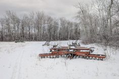
The small amounts of precipitation received in the dry areas during the fall helped somewhat, Hadwen said, but were not enough to rectify soil moisture ills such as those on the Prairies.
“The major ones in the Prairies, the ones we’re mostly concerned about at this point, remain the ones in central Saskatchewan north of Regina and southern Alberta,” Hadwen said.
Also this year, dry conditions took hold of Quebec’s Gaspe region and northern New Bruswick. With all of the dry conditions across the country, the federal government in September kicked in its livestock tax deferral provision and reviewed the situation later in the fall.
“As more data comes in, and as more evidence of extreme events come in, we end up adding more areas to that. So the second assessment was completed at the end of October and announced in November,” Hadwen said.
From that second assessment, northern New Brunswick and additional parts of the Gaspe were added, along with more than 70 municipalities and counties across the Prairies. The vast majority of the latter were in Saskatchewan.
Producer response to the tax deferral has been good so far, Hadwen said, and further assessments are being carried out.
“A number of the provinces currently affected by drought have asked for us to review additional regions and additional regions will be announced early in the New Year,” he stated.
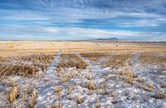
With winter barely underway, Hadwen said it’s much too early to predict how conditions could be in the spring. Only toward the end of winter and the beginning of spring, when snowpack can be more accurately gauged, can the amount of spring runoff be estimated with any accuracy.
— Glen Hallick writes for Commodity News Service Canada, a Glacier FarmMedia company specializing in grain and commodity market reporting.