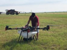

So you want to utilize drone technology on your operation but aren’t sure where to start? A Winnipeg tech company may have an option for you.
Alpha Technologies is looking to offer unmanned aerial vehicle (UAV) surveillance services.
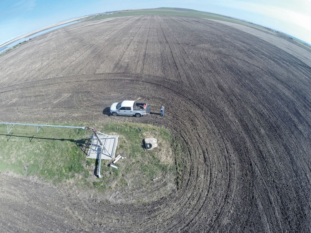
“What we are working on is offering very accurate ground assessment as far as altitude, height and 3D topography. That data can help farmers to level fields or take care of low-laying spots, water damage or conduct real-time crop health assessments,” said Alan Castell, owner and operator of Alpha Technologies.
Read Also
Manitoba sclerotinia picture mixed for 2025
Variations in weather and crop development in this year’s Manitoba canola fields make blanket sclerotinia outlooks hard to pin down
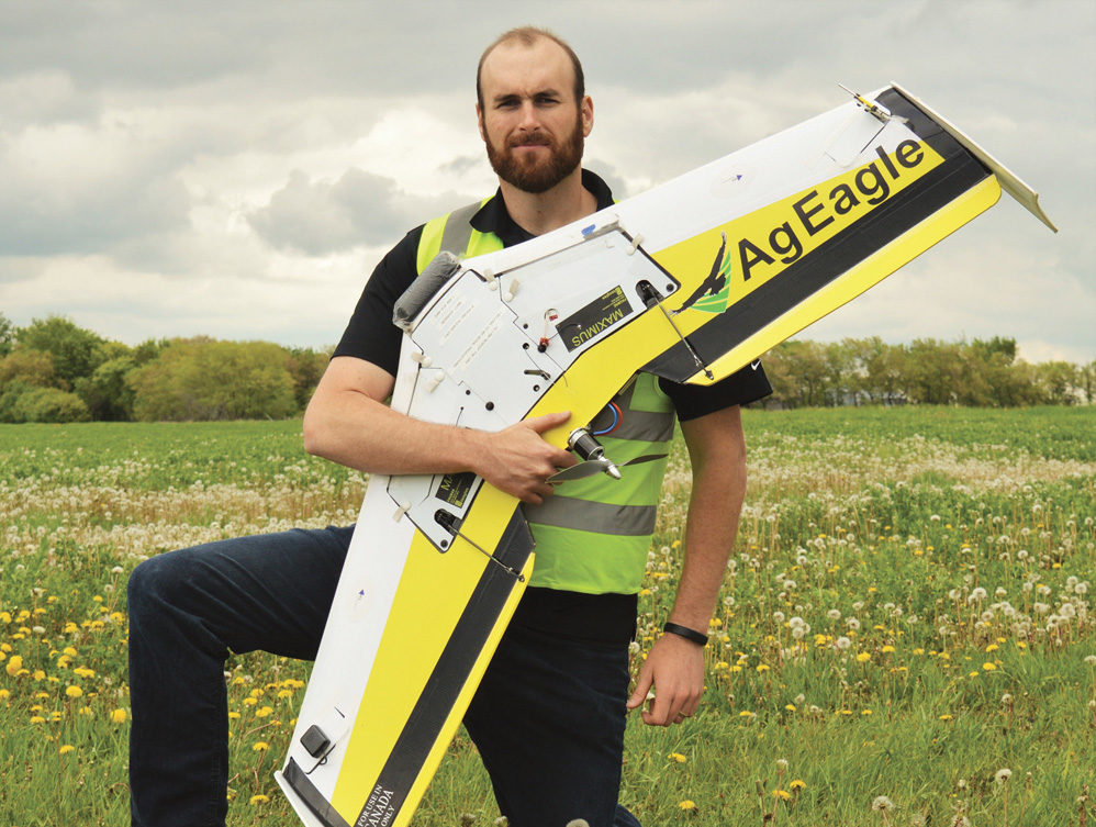
Castell has personally been flying for more than 20 years. A few years ago he decided to combine his tech knowledge and his passion for flying into Alpha’s drone services and he quickly saw the potential for the service in the agriculture industry.
“This is something we know is going to grow and grow intensely over the next two years, especially as the laws come down and people understand more of what you can and can’t do,” said Castell.
While many producers are eager to use drone technology, the complicated equipment and software can seem overwhelming and capturing high-quality data can be difficult for inexperienced operators.
“This is not a simple piece of equipment, there is a lot to it. Also, a lot of producers may want this data but aren’t interested in investing in the equipment themselves,” said Castell. “In that case, it makes a lot more sense to get someone with the equipment and experience to provide this data.”
Flying a UAV also comes with the requirement of acquiring a licence from Transport Canada and insurance, which varies depending on the situation.
“We have spent close to two years now staying in contact with Transport Canada so that we can make sure we are aware of what we can and cannot do. We also carry half a million in liability insurance and that allows us to do agricultural work without having to go through the application process every time,” said Castell.
Producers may also have to deal with the roadblock of poor or slow Internet connections in rural areas, which can dramatically slow the processing of imagery.
“Data from a drone flight can range anywhere from two terabytes and up. A farmer in a rural area will likely not have the speed or server capability to upload these files without taking days.”
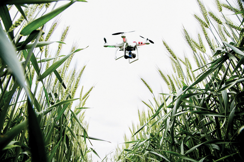
Castell says he is able to capture some of the highest-resolution imagery and virtually anywhere, including areas that are inaccessible by ground transportation.
“We took a bunch of footage from behind the sprayer and you can actually see the sprayer’s nozzles turning on and off. That is the kind of resolution you have on these things,” said Castell.
Partnering with an equipment manufacturer
Alpha Technologies is also looking at partnering with an agriculture equipment manufacturer to combine data collected from drone surveillance with variable-rate sprayers.
“There is the ability to program these sprayers to turn on and off,” said Castel. “We are looking at being able to provide the data that the farm equipment guys need in order to program that equipment effectively.”
Castell said they would be able to merge the NDVI data (normalized deferential vegetation index) collected by the drone, which looks at chlorophyll production in healthy plants, to guide equipment operators in programming when and when not to spray.
The ability to combine this data and pinpoint spray areas with GPS technology creates a system that is more efficient for both the producer and their wallets.
“I think the benefits are massive. We have the possibility of helping producers save 30 to 40 per cent of the chemical protection products that they use,” said Castell. “That is potentially tens of thousands of dollars.”