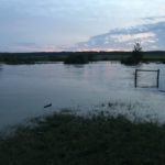
Off pasture
Animals at Minnedosa's Bison Park are gathered in front of their now-flooded pasture July 1.
Photo: Alexis Stockford
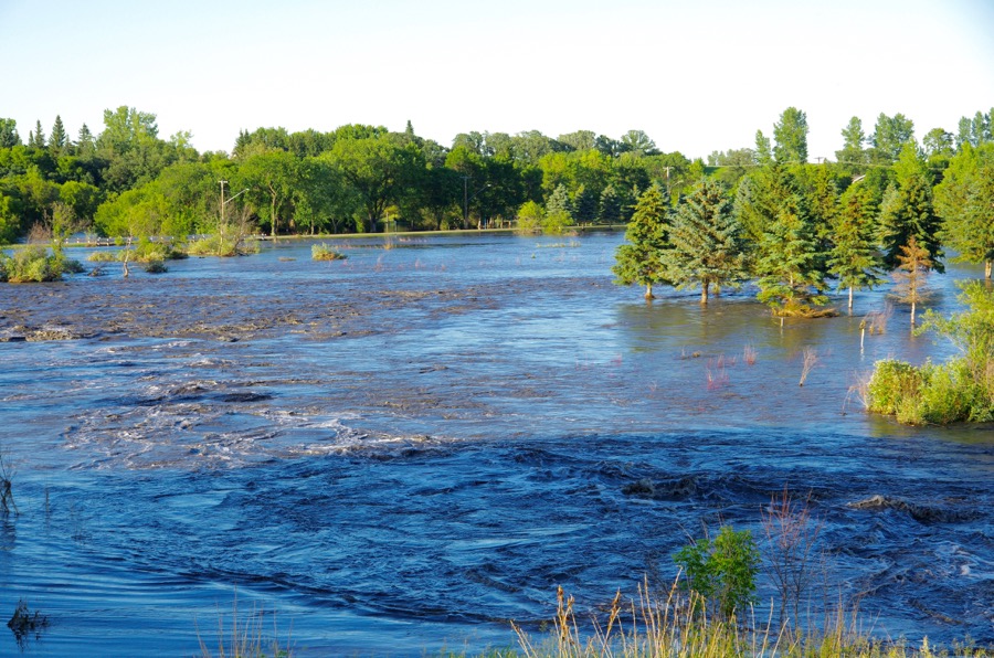
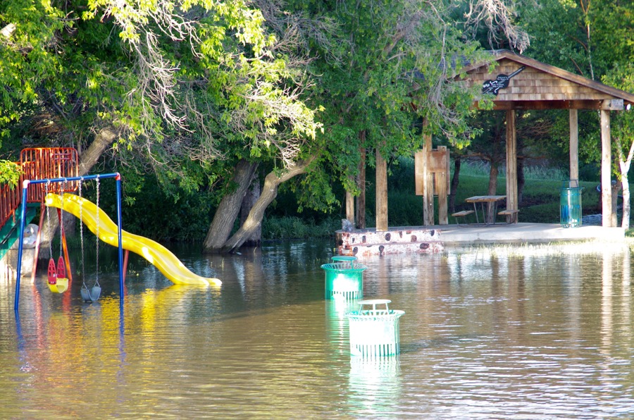
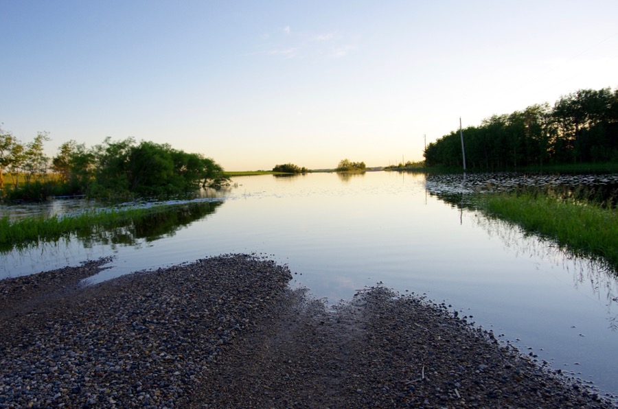
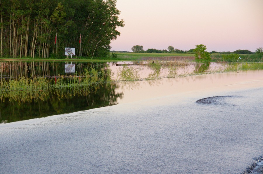
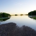
Neepawa
Neepawa's green space north of Highway 16 fills with flood water July 1 after one out of a string of storms to cause flooding across western Manitoba.
Photo: Alexis Stockford
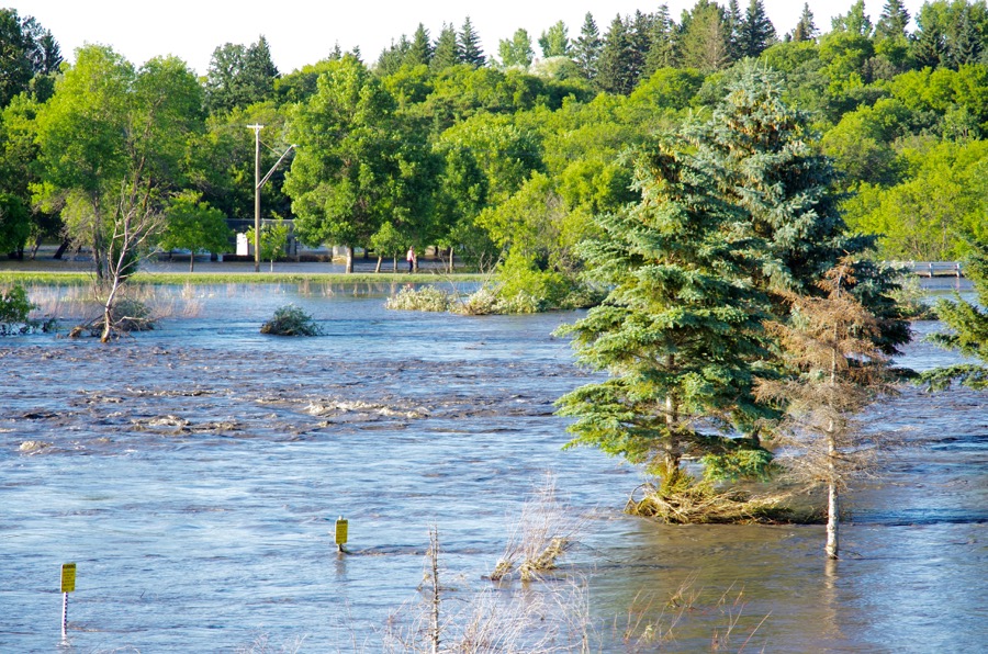
Neepawa
Photo: Alexis Stockford
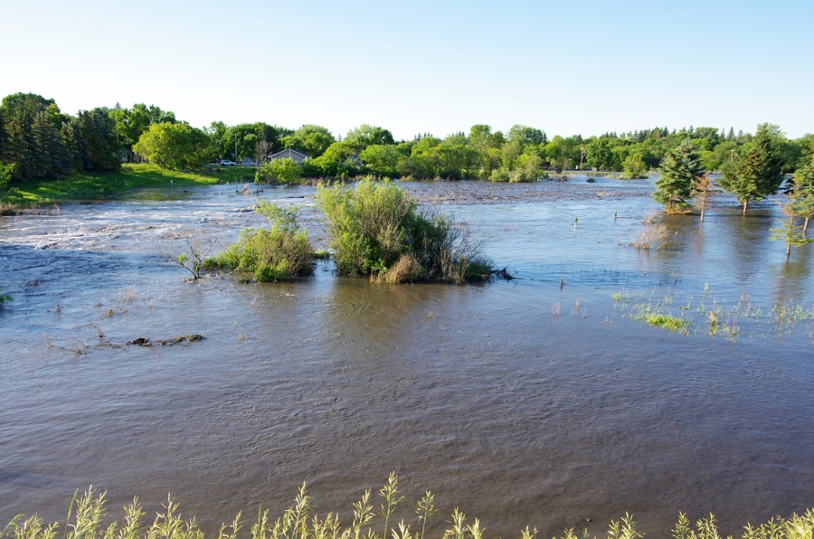
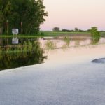
Neepawa
Neepawa's green space north of Highway 16 fills with flood water July 1 after one out of a string of storms to cause flooding across western Manitoba.
Photo: Alexis Stockford
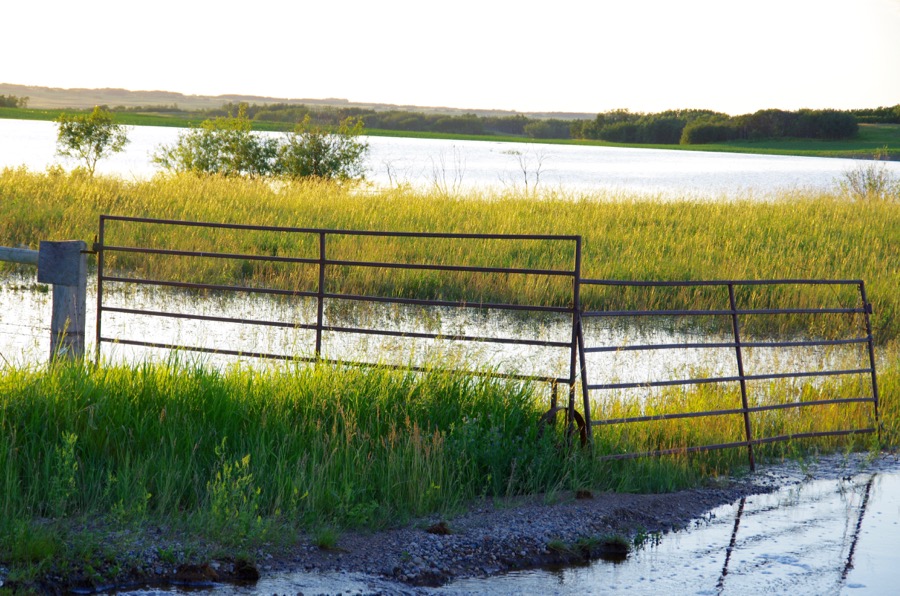
Minnedosa
Photo: Alexis Stockford
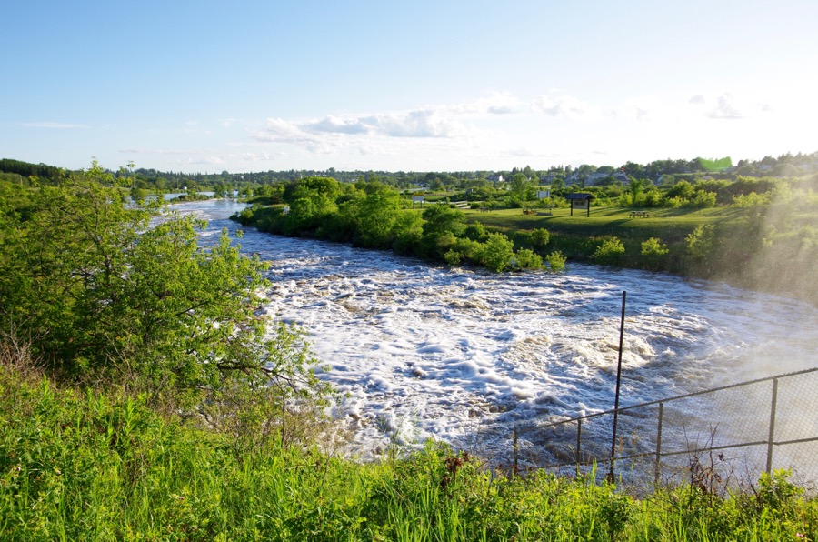
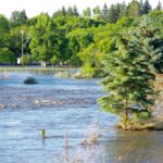
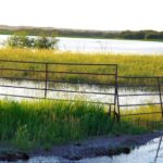
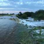
Minnedosa
The Little Saskatchewan River spills its banks through the Town of Minnedosa July 1, flooding a local park.
Photo: Alexis Stockford

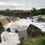
July 2020 flood Minnedosa rail bridge
The Little Saskatchewan River creeps up toward a rail bridge in the Town of Minnedosa July 1, the day after flooding caused evacuations in the town.
Photo: Alexis Stockford
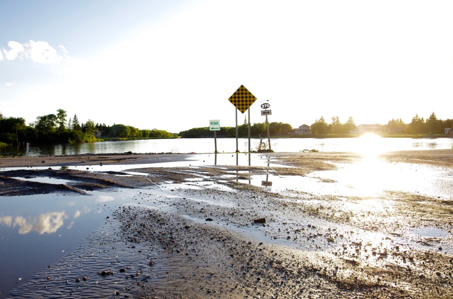
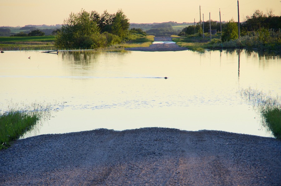
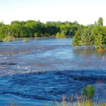
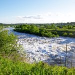
Rapid City
Water bound for the increasingly stressed dam at Rivers pools at Rapid City July 1.
Photo: Alexis Stockford
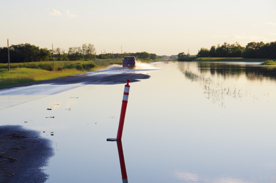
Rapid City
Flood waters overrun Highway 24 west of Rapid City.
Photo: Alexis Stockford
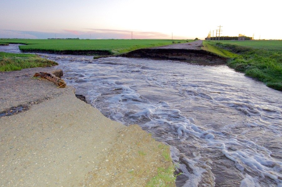
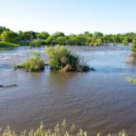
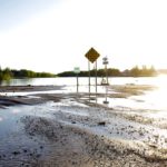
Road out
Areas between Rapid City and Rivers become a labyrinth of flood waters and road washouts in the first week of July after storms brought torrential rainfalls, high winds and a tornado touchdown.
Photo: Alexis Stockford
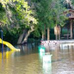
Pasture ponding
Areas between Rapid City and Rivers become a labyrinth of flood waters and road washouts in the first week of July after storms brought torrential rainfalls, high winds and a tornado touchdown.
Photo: Alexis Stockford
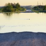
Water traffic
Local wildlife takes advantage of the sudden increase in water between Rapid City and Rivers July 1.
Photo: Alexis Stockford
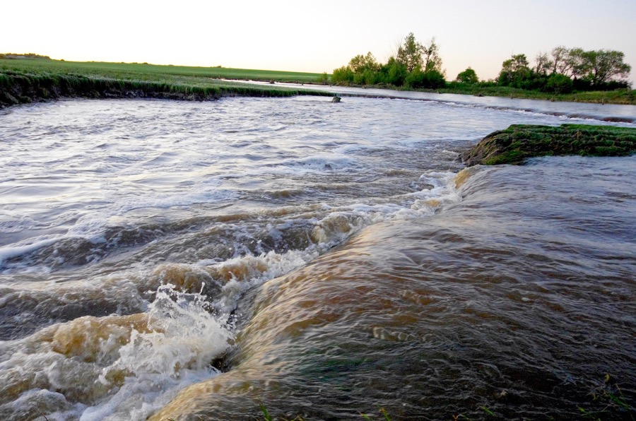
Forrest
Roadside ditches become rapids east of Forrest after storms dropped over 214 millimetres of rain starting June 28.
Photo: Alexis Stockford
Forrest
While the Municipalities of Riverdale and Oakview saw many roads totally washed out, severe washouts were also reported in surrounding areas, such as this scene east of Forrest July 1.
Photo: Alexis Stockford
MBFI
Water fills low areas and across the highway at the main Manitoba Beef and Forage Initiatives site west of Brookdale July 1.
Photo: Alexis Stockford
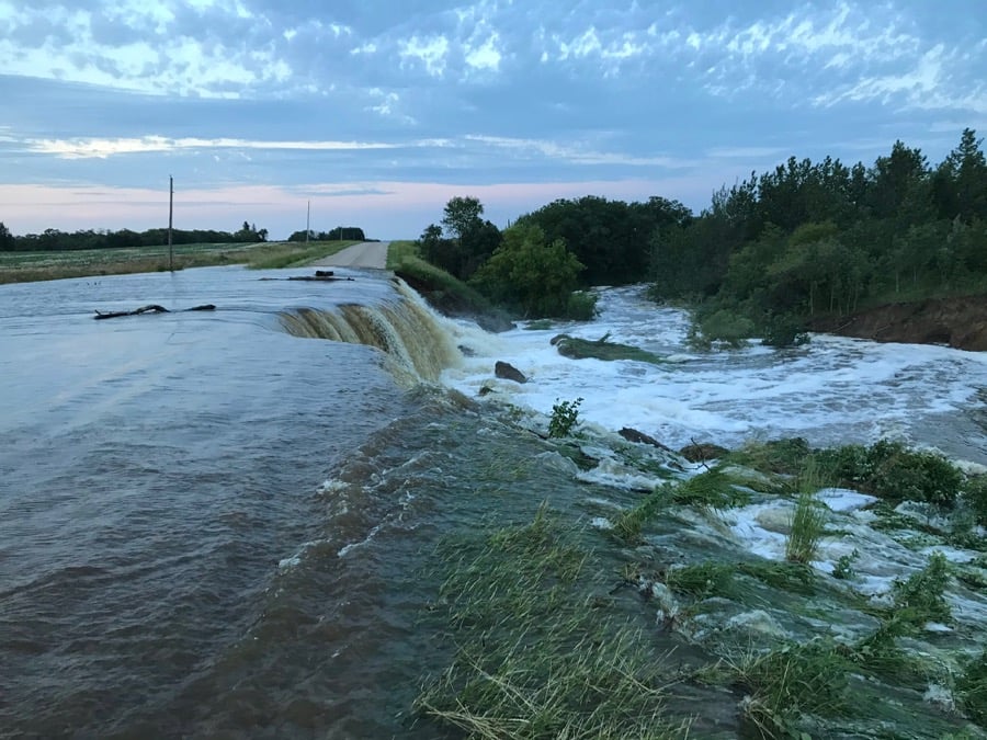
Roaring road
A municipal road north of Brandon goes from dry to dramatic waterfall in the space of three hours June 29.
Photo: Ron Krahn

Same road, later
The same road falls prey to floodwater pressure by 8:30 a.m. June 30.
Photo: Ron Krahn
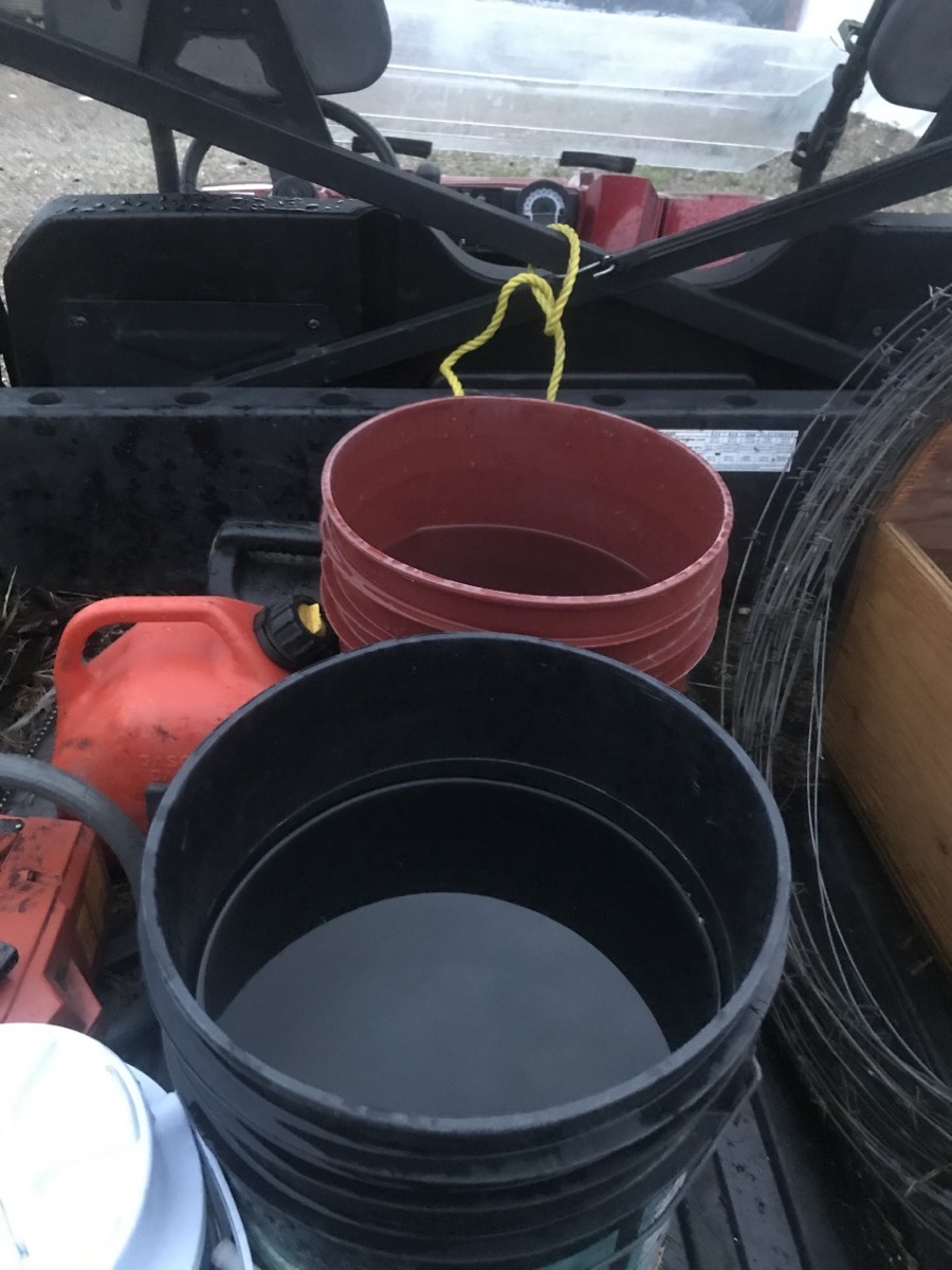
Rivers
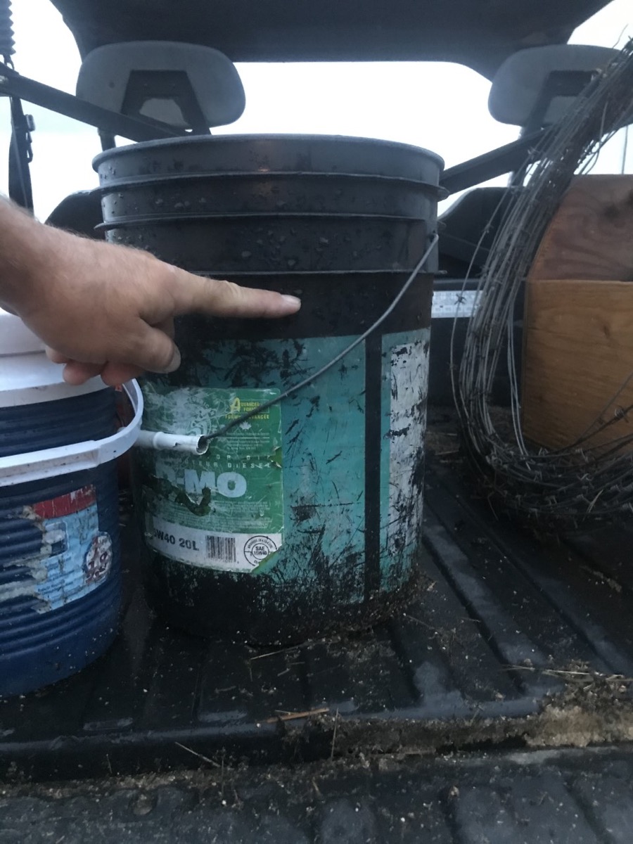
Empty buckets left out overnight June 28 display the scale of rainfall near Rivers during the first of what would end up being a string of storms into the first week of July.
Photo: Trent Hedley
Rivers
Empty buckets left out overnight June 28 display the scale of rainfall near Rivers during the first of what would end up being a string of storms into the first week of July.
Photo: Trent Hedley
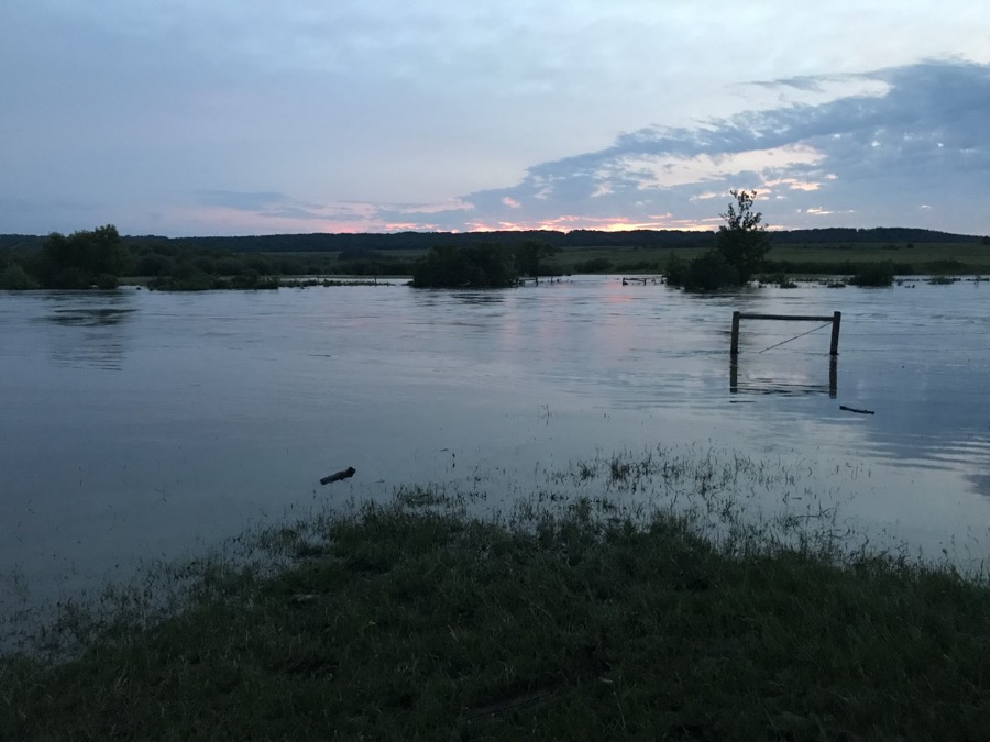
Pasture at Rivers
Trent Hedley's pasture near Rivers goes underwater after the first of several storms June 28.
Photo: Trent Hedley


Southern Manitoba can expect another five to seven days of “widespread precipitation” and “occasional heavy thunderstorms” with the potential for more overland flooding, the provincial lood forecasting agency said Friday.
Storms could develop over most southern, southwestern and southeastern Manitoba watersheds during that period, bringing up to 100 millimetres of “heavy localized” rain, the provincial Hydrologic Forecast Centre said in a release.
Property owners are advised to take precautions as water levels could rise “significantly” in a short time in these areas, and asks that people stay away from affected areas “unless travel is necessary.”
Read Also

Student agronomy challenge coming to Assiniboine College
The Prairies’ first agronomy competition brings together post-secondary ag students for hands-on crop advising challenges at Assiniboine College in Brandon, Man.
That advice follows the evacuations of over 100 people from about 30-40 properties along the Little Saskatchewan River downstream from its dam near Rivers, after the province announced July 1 it had “lost confidence in the integrity” of the dam.
Those evacuations so far include 80 people from the R.M. of Riverdale, 17 from the R.M. of Whitehead, four from the R.M. of Cornwallis and three from the town of Neepawa, along with livestock from the Riverdale and Whitehead municipalities.
Minor repairs are being done on an “ongoing and as-needed basis” on the Rivers dam, which the province said is facing a “one-in-1,000-year flood event” with “unprecedented” flows on the Little Saskatchewan River following heavy rains.
The province said Friday the dam is still intact but has “potential for a structural failure” with flows of around 8,500 cubic feet per second (cfs), down from 12,000 cfs earlier in the week.
Flood warnings remain in place for the Little Saskatchewan River and Whitemud River watersheds, as low-lying land near the rivers is affected, the province said. A flood warning is also still in place for the Assiniboine River from Brandon to Portage la Prairie; flooding is expected in low-lying areas but water is expected to stay below flood protection levels at “most locations” along the Assiniboine.
The province said Friday it also began operating the Portage Diversion on Thursday, to limit flows on the lower Assiniboine to 10,000 cfs. Lake Manitoba on Friday sat at a level of 811.5 feet, “in the middle of the desired water level range.” — GFM Staff