Agriculture and Agri-Food Canada is aiming to bring satellite technology down to earth for Prairie producers.
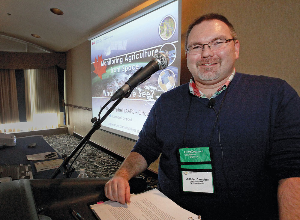
“Typically in agriculture you’re thinking biology, maybe chemistry, well this is physics in agriculture,” said Leander Campbell, speaking at the recent Crop Connect in Winnipeg.
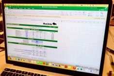
Campbell, a remote sensing specialist with the earth observation team at Agriculture Canada, said that a wide array of maps and data products are available free of charge to anyone who is interested, via the department’s website.
Read Also
When rolling soybeans works, and when it doesn’t
University of Manitoba research explores how weather conditions and plant brittleness impact yield and crop damage.
“We use satellite imagery to look at agriculture across Canada,” he said. “We do a national crop inventory map, we look at soil moisture, weekly crop maps… really all types of data.”
The team also generates integrated crop maps that incorporate data from sources like ground surveys and crop insurance providers. In the future, Campbell said he would like to see crowdsourcing used to fill in some of the information holes around smaller, less common, specialty crops such as quinoa or millet.
“We’re thinking that might be the ideal way to fill in those gaps. We try to target crops that we’re not getting information on, then try to access that kind of information through the general public,” said Campbell. “The bigger crops, the more common crops are much easier for us to find.”
Turning to the public can also help answer questions about exactly what researchers are looking at, he said, pointing to a tricky field the team encountered while doing a ground survey last summer.
“At first we thought it was canola,” said Campbell. “There was just so much yellow.”
But as it tuned out, that yellow field was actually organic corn that had been infiltrated by wild mustard.
In Alberta, at least one organization is using the crop maps to help predict where clubroot might emerge. Areas that see year after year of canola production can be monitored more closely after being identified through aerial images, he said.
A similar use has been found for the maps in Ontario, where crop spacing is being monitored in some regions to help predict pest movement. In Manitoba, soil moisture and crop maps can be used to assist in predicting run-off and flooding.
“It’s crazy the amount of stuff people are using this for, stuff I would have never even have dreamed up,” said the remote sensing specialist.
So far, few privacy concerns have been raised about the earth observation team’s work, but maps have been used by some to identify people growing specific crops that they are interested in pursuing. The images currently have a resolution of 30 metres and an accuracy rate of close to 90 per cent.
“I’m not targeting anyone specifically for anything, we are looking at all of Canada,” Campbell said. “We’re trying to get a better feel of what is actually happening out there so you can make better policies to try to understand that.”
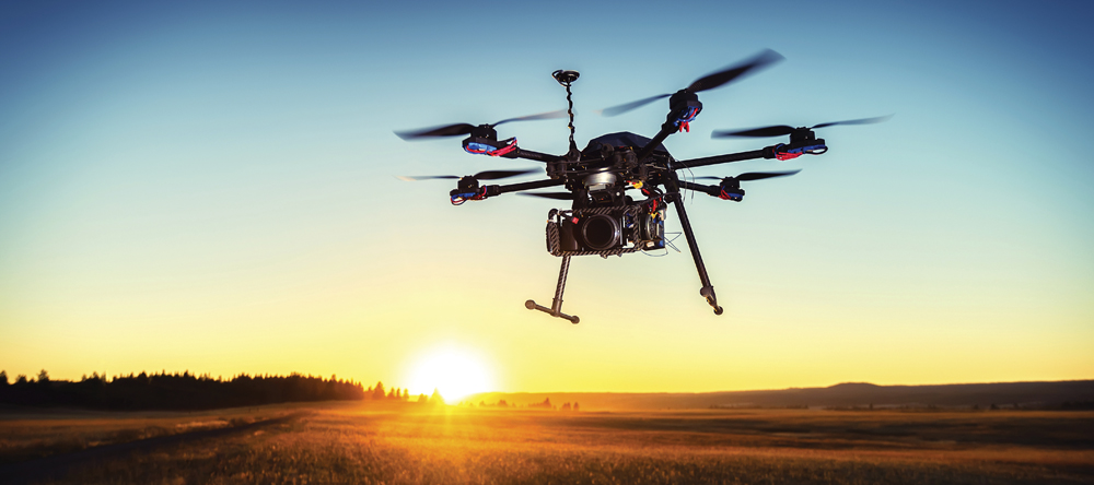
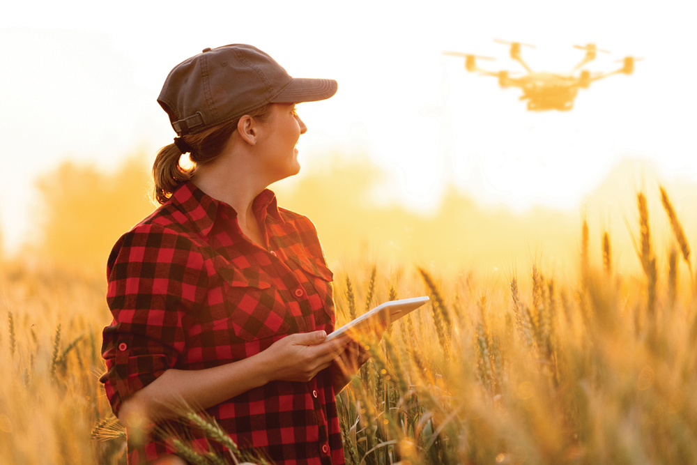
He added that as people become more accustomed to overhead imagery with the popularity of unpiloted aerial vehicles or drones, satellite imagery has become less of a concern.
As more satellites are launched in the coming years, Campbell predicts that Agriculture Canada’s maps will become more accurate, more frequent and have a higher resolution.
“There is just so much potential here,” he said.